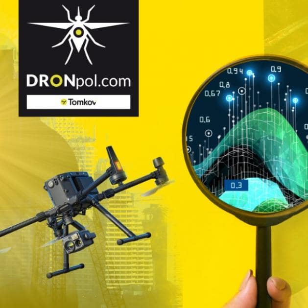
With the advent of the spring and summer season, it is worth getting acquainted with the possibilities offered by unmanned aerial vehicles in this time of the year. Good sunlight and long days make it easier to obtain data for the needs of orthophotomaps and photogrammetric measurements. Spring is also a period when vegetation comes to life, so it is worth getting acquainted with the possibilities of obtaining data using a multispectral camera. The use of a thermal imaging camera will allow for the examination of infrastructure, including, for example, the detection of underground failures in the sewage system. In the spring, there may also be floods and local flooding – here drones can also contribute to increasing the effectiveness of the activities related to crisis management. In times of a pandemic, it is difficult to organize events, concerts, fairs and other events promoting cities and communes, therefore the conference will present other interesting methods for effective on-line promotion. With the help of drones, you can create virtual walks, movies and 360 panoramas or interesting animations. During the conference, the subject of equipment will also be discussed: types of drones, sensors, their possibilities and limitations. We will also compare the possibilities and costs of a drone with a manned plane equipped with appropriate sensors.
Practitioners will speak during the conference and presentations will be based on actual measurements and realizations. The organizers provide for the possibility of free registration for representatives of local government units up to 14 days before the conference, i.e. by April 8, 2021. During the conference, 6 interesting applications of drones will be presented:
Check the technical condition or plan investments for roads, bridges, bicycle paths, tracks.
Creating orthophotomaps from a drone, calculating the volume of landfills and workings, creating digital maps of the terrain surface.
The use of drones to inspect infrastructure: pipelines, buildings. Detection of underground installations failures.
Drones in the face of natural disasters are an excellent tool supporting the activities of crisis management bodies. You will learn about applications such as: creating quick maps in RAPID mode, managing rescue missions, searching for people and rescue.
Promoting the city in the era of lock-down mainly boils down to publishing content on the web, and this task requires having the right content: attractive films and high-quality photos. You will also learn about such possibilities as: 360 films, live broadcasts, 360 panoramas, virtual walks, models 3d.
Inventory and plant health assessment using a multispectral camera placed on a drone.
Free participation for representatives of local government units when registering by April 8.
Additional information and registration on the website: